History: Antique Maps
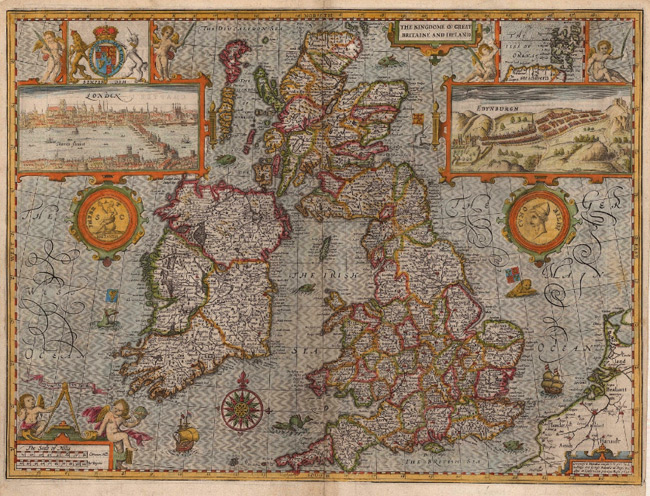
- Title: 1627 Map of The Kingdom of Great Britain and Ireland
- Description: Seminal map of the United Kingdom, embellished with vignettes of London and Edinburgh. Coloured.
- Publisher: John Speed
- Download: High-Res pdf
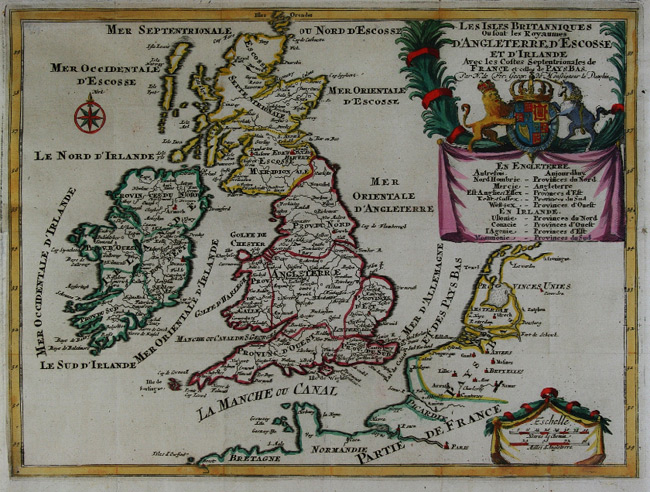
- Title: c. 1710 Map of Les Isles Britanniques
- Description: British Isles. Rare map of the United Kingdom and Ireland. Coloured.
- Publisher: Nicolas De Fer
- Download: High-Res pdf
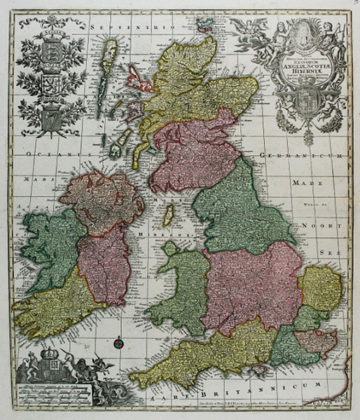
- Title: c. 1735 Map of Tabula Novissima Accuratissima Regnorum Angliae, Scotiae Hiberniae
- Description: Copper engraved map of the United Kingdom in original colour with a portrait of George I.
- Publisher: Matthaus Seutter
- Download: High-Res pdf
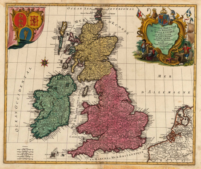
- Title: 1764 Map of La Grande Bretagne
- Description: Great Britain. Striking map of the United Kingdom with a large illustrated cartouche. Coloured.
- Publisher: T. & M. Lotter
- Download: High-Res pdf
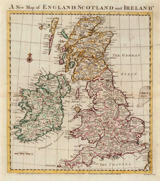
- Title: 1788 A New Map of England, Scotland and Ireland
- Description: The United Kingdom divided into counties. Coloured.
- Publisher: John Harrison
- Download: High-Res pdf
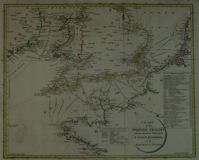
- Title: 1803 Map of the British Channel with the Opposite Coast of the United Kingdom and the Republic of France
- Description: English Channel. Gives various cross channel journey distances. Coloured.
- Publisher: Stratford
- Download: High-Res pdf
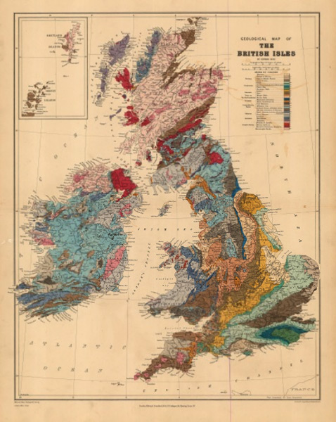
- Title: 1914 Geological Map of the British Isles
- Description: Map showing the geology of the United Kingdom. Inset of the Orkney ans Shetland Islands. Printed colour.
- Publisher: Edward Stanford
- Download: High-Res pdf
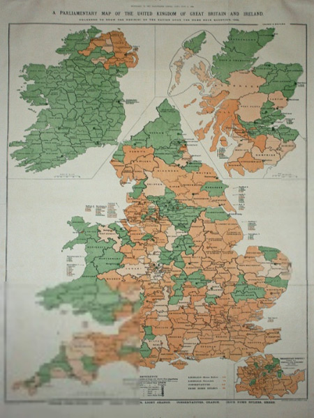
- Title: c. 1920 Map of the United Kingdom of Great Britain and Ireland
- Description: Large map in original colour showing the Parliamentary constituencies.
- Publisher: Edward Stanford
- Download: High-Res pdf
Copyright © 1993—2024 World Trade Press. All rights reserved.

 United Kingdom