Geography: Geography
Location
Western Europe, islands—including the northern one-sixth of the island of Ireland—between the North Atlantic Ocean and the North Sea; northwest of France
Geographic Coordinates
54 00 N, 2 00 W
Map references
Europe
Area
Total: 243,610 sq km
Land: 241,930 sq km
Water: 1,680 sq km
Note: The percentage area breakdown of the four UK countries is: England 53%, Scotland 32%, Wales 9%, and Northern Ireland 6%note 2: includes Rockall and the Shetland Islands, which are part of Scotland
Country Comparison to the World: 81
Area Comparative: Twice the size of Pennsylvania; slightly smaller than Oregon
Land Boundaries
Total: 490 km
Border countries (1): Ireland 490 km
Coastline: 12,429 km
Maritime Claims
Territorial sea: 12 nm
Continental shelf: As defined in continental shelf orders or in accordance with agreed upon boundaries
Exclusive fishing zone: 200 nm
Climate
Temperate; moderated by prevailing southwest winds over the North Atlantic Current; more than one-half of the days are overcast
Terrain
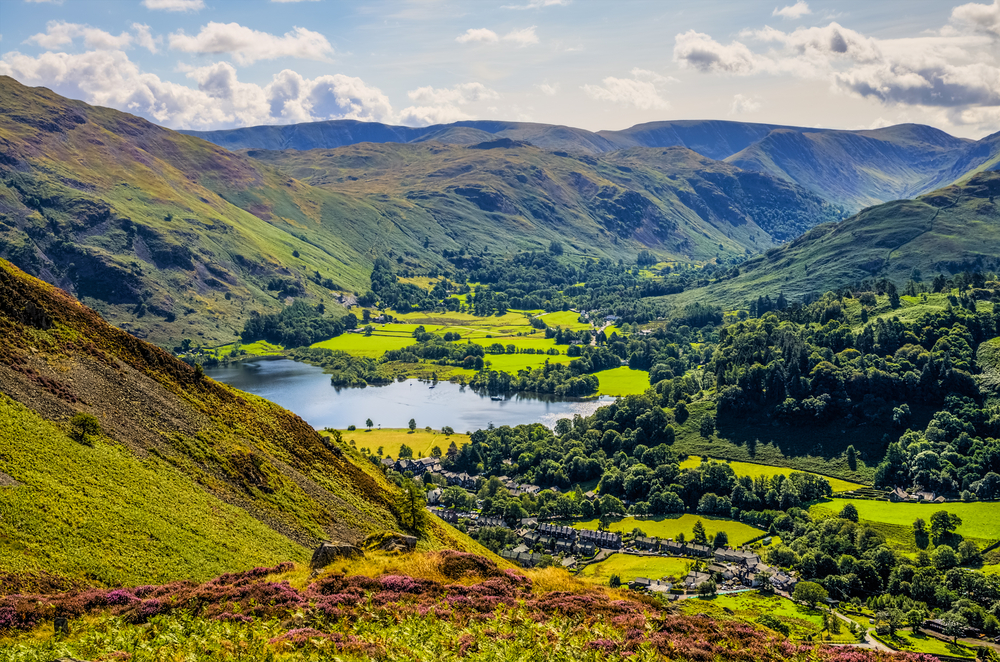
Mostly rugged hills and low mountains; level to rolling plains in east and southeast
Elevation
Mean elevation: 162 m
Lowest point: The Fens -4 m
Highest point: Ben Nevis 1,345 m
Natural Resources
Coal, petroleum, natural gas, iron ore, lead, zinc, gold, tin, limestone, salt, clay, chalk, gypsum, potash, silica sand, slate, arable land
Land Use
Agricultural land: 71% (2011 est.)
Arable land: 25.1% (2011 est.)
Permanent crops: 0.2% (2011 est.)
Permanent pasture: 45.7% (2011 est.)
Forest: 11.9% (2011 est.)
Other: 17.1% (2011 est.)
Irrigated land: 950 sq km (2012)
Population Distribution
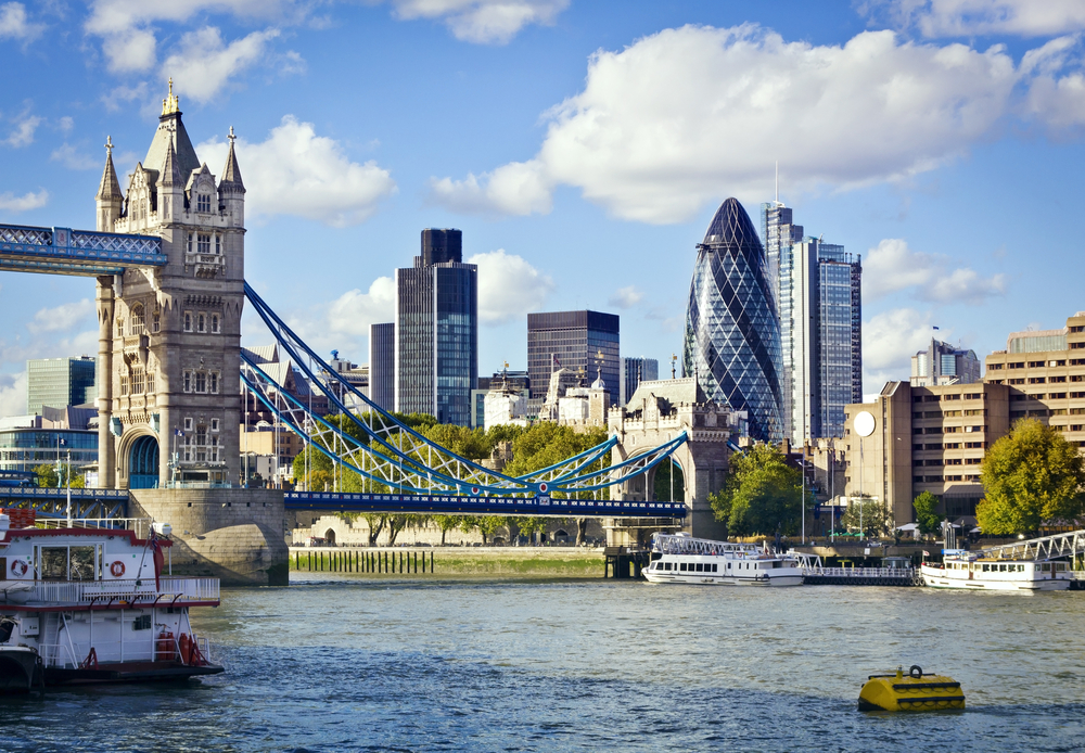
The core of the population lies in and around London, with significant clusters found in central Britain around Manchester and Liverpool, in the Scotish lowlands between Endinburgh and Glasgow, southern Wales in and around Cardiff, and far eastern Northern Ireland centered on Belfast
Natural Hazards
Winter windstorms; floods
Current Environmental Issues
Air pollution improved but remains a concern, particularly in the London region; soil pollution from pesticides and heavy metals; decline in marine and coastal habitats brought on by pressures from housing, tourism, and industry
Notes
- Lies near vital North Atlantic sea lanes
- Only 35 km from France and linked by tunnel under the English Channel (the Channel Tunnel or Chunnel)
- Because of heavily indented coastline, no location is more than 125 km from tidal waters
Article written for World Trade Press by CIA Factbook, Current as of 5 May, 2021.
Copyright © 1993—2024 World Trade Press. All rights reserved.

 United Kingdom
