Geography: Rivers
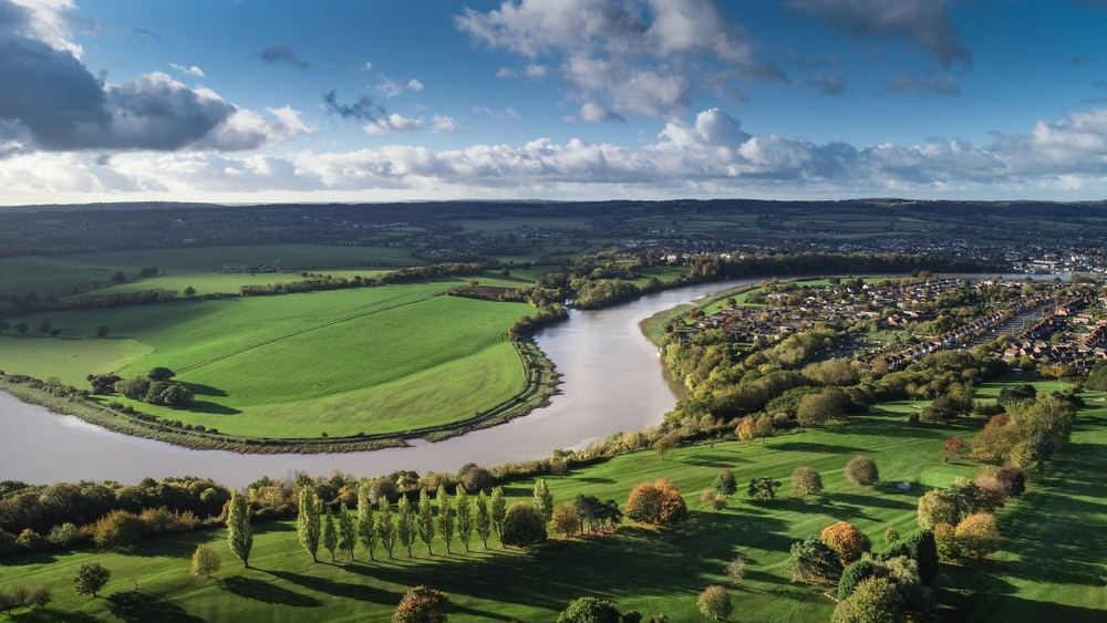
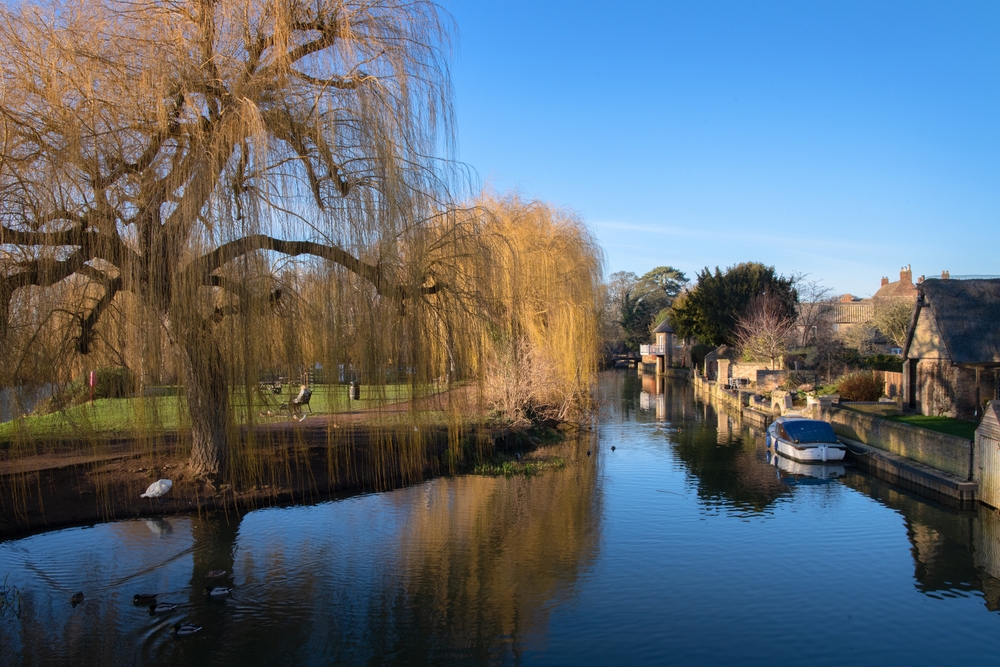
The United Kingdom, with its rich history and varied landscapes, is interlaced with a network of major rivers that have played a crucial role in shaping its history, culture, and economy. Rivers such as the Thames, Severn, and Trent flow through the heart of the country, winding through cities, rolling countryside, and industrial regions. These waterways have been vital for agriculture, providing irrigation and supporting livestock. They have also been crucial for transportation, trade, and industrial development throughout British history, particularly during the Industrial Revolution. Today, they continue to support economic activities, including energy generation and tourism. The rivers of the UK are also central to its ecology, supporting diverse habitats and wildlife. Beyond their practical uses, British rivers hold deep cultural significance, featuring in literature, art, and folklore, and serving as settings for historical events and everyday life. The table below presents an overview of the major rivers in the United Kingdom, detailing their lengths, sources, and outflows.
|
River Name |
Length |
Source |
Outflow |
|
River Severn |
354 km (220 mi) |
Plynlimon, Wales |
Bristol Channel |
|
River Thames |
346 km (215 mi) |
Thames Head, England |
North Sea |
|
River Trent |
297 km (185 mi) |
Biddulph Moor, England |
Humber Estuary |
|
River Great Ouse |
230 km (143 mi) |
Syresham, England |
The Wash |
|
River Wye |
215 km (134 mi) |
Plynlimon, Wales |
Severn Estuary |
|
River Tay |
193 km (120 mi) |
Ben Lui, Scotland |
Firth of Tay |
|
River Spey |
172 km (107 mi) |
Loch Spey, Scotland |
Moray Firth |
|
River Tweed |
156 km (97 mi) |
Tweed's Well, Scotland |
North Sea |
|
River Clyde |
176 km (110 mi) |
Lowther Hills, Scotland |
Firth of Clyde |
|
River Dee |
140 km (87 mi) |
Cairngorm Mountains, Scotland |
North Sea |
Copyright © 1993—2024 World Trade Press. All rights reserved.

 United Kingdom
